Project Background
The Macetown Road Managed Access System became operational on 1st April 2026.
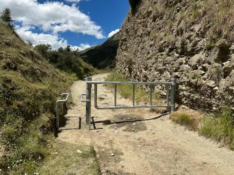
The system includes a locked gateway structure with an adjacent squeeze barrier for cyclists and walkers, a CCTV camera surveillance system with online monitoring and number plate recognition capability, and a fee-based online permit system.
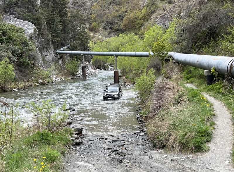
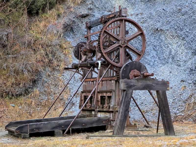
Despite its name, Macetown Road is not a legal road or paper road. It has a complex legal status and land ownership crossing over private land, Crown Riverbed, Public Conservation Land and marginal strips on the way to the Macetown Historic Reserve. There is no easement ensuring ongoing public access and there is no public funding available for repairs or maintenance. Heavy use, environmental pressures, vandalism and deterioration of the track have created a risk that if nothing is done the track would have to be closed. This project aims to ensure continued vehicle access to this area for generations to come.
The managed access system is required to preserve access for a wide range of user groups, protect heritage and archaeological features, fund maintenance and repairs, reduce environmental damage and improve safety for all users.
The system is being implemented by a community-led multi-agency group (The Macetown Rd 4WD Access Advisory Group). Progress to date includes:
- The gate system has been installed. Vehicles and horse riders will use the locked vehicle gate. Walkers and cyclists will use the squeeze barrier to pass through the gate. The gate will be left open until the permit system is operational.
- The CCTV camera system has been installed and is fully operational.
- The online permit system is nearing completion and is expected to be operational by late February 2026.
- A full field survey of the road has been undertaken and easement applications are under way over the private land and Crown Riverbed.
Permit System
Permits to obtain the gate padlock code can be applied for in advance or on the day of travel online at https://permit.nzfwda.org.nz or by using the QR code displayed on signage at the beginning of the track.
The permit system is designed to accommodate real-time permit processing without the need for human intervention and provides:
- Standard permit applications for individual 4WD vehicles and motorcycles, requiring online payment at the time of application. A $40 fee applies for each permit.
- Permit processing for Annual Pass holders (residents within the QLDC territorial boundaries who have paid an annual fee of $100 for access throughout the year).
- Separate permit processes providing the current gate code and enabling free access through the vehicle gate for horse riders, Mining Claim Permit Holders, and approved user groups.
- Individual access agreements for commercial tourism operators and major event organisers.
Permit fees, donations, and funds from commercial arrangements are banked directly into a dedicated account with Arrowtown Charitable Trust.
Community-led Project
The system is being implemented by the Macetown Rd 4WD Access Advisory Group comprising Soho Property Limited, QEII National Trust, Department of Conservation, Herenga ā Nuku – Outdoor Access Commission, Queenstown Lakes District Council (QLDC), Arrowtown Village Association, Queenstown Trails Trust, Arrowtown Charitable Trust, New Zealand Four Wheel Drive Association (NZFWDA), and Shotover 4WD Club.
Acknowledgements
We acknowledge the funding and services support from the following contributors who have made this project possible:
Community Trust South, Central Lakes Trust, QLDC, NZFWDA, Scope Surveying, ACL Communications Limited, Shotover 4WD Club, Raymond Keys, NZFWDA Southern Zone, Otago Recreational 4WD Group, Nelson 4WD Club, Central Otago 4WD Club, Land Rover Owners Club Otago, Queenstown Lions Club, Wanaka and Districts Lions Club and the Motatapu Team.
Contact us: [email protected]
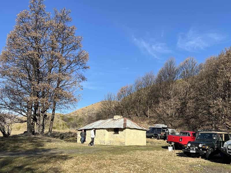
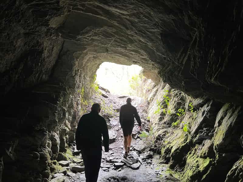
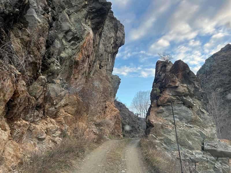
Explore Macetown Road